Turn Your Phone into a Surveying Power Tool
Azmyth on Foot lets you capture accurate GPS data and measurements from just a photo, no bulky gear required.
Azmyth on Foot was built for utility pole surveying, but it works for much more. Hydrants, cable boxes, signage, if it’s a physical object, you can locate and measure it in seconds. The mobile app pairs with your RTK GPS receiver to deliver accurate, real-time data without needing bulky equipment or repeat site visits.
Survey Anything. Anywhere. Right from your iPhone.

Why Azmyth on Foot Works in the Real World
Precise Pole Measurements
Fast and accurate GPS-enabled pole location from a single photo.
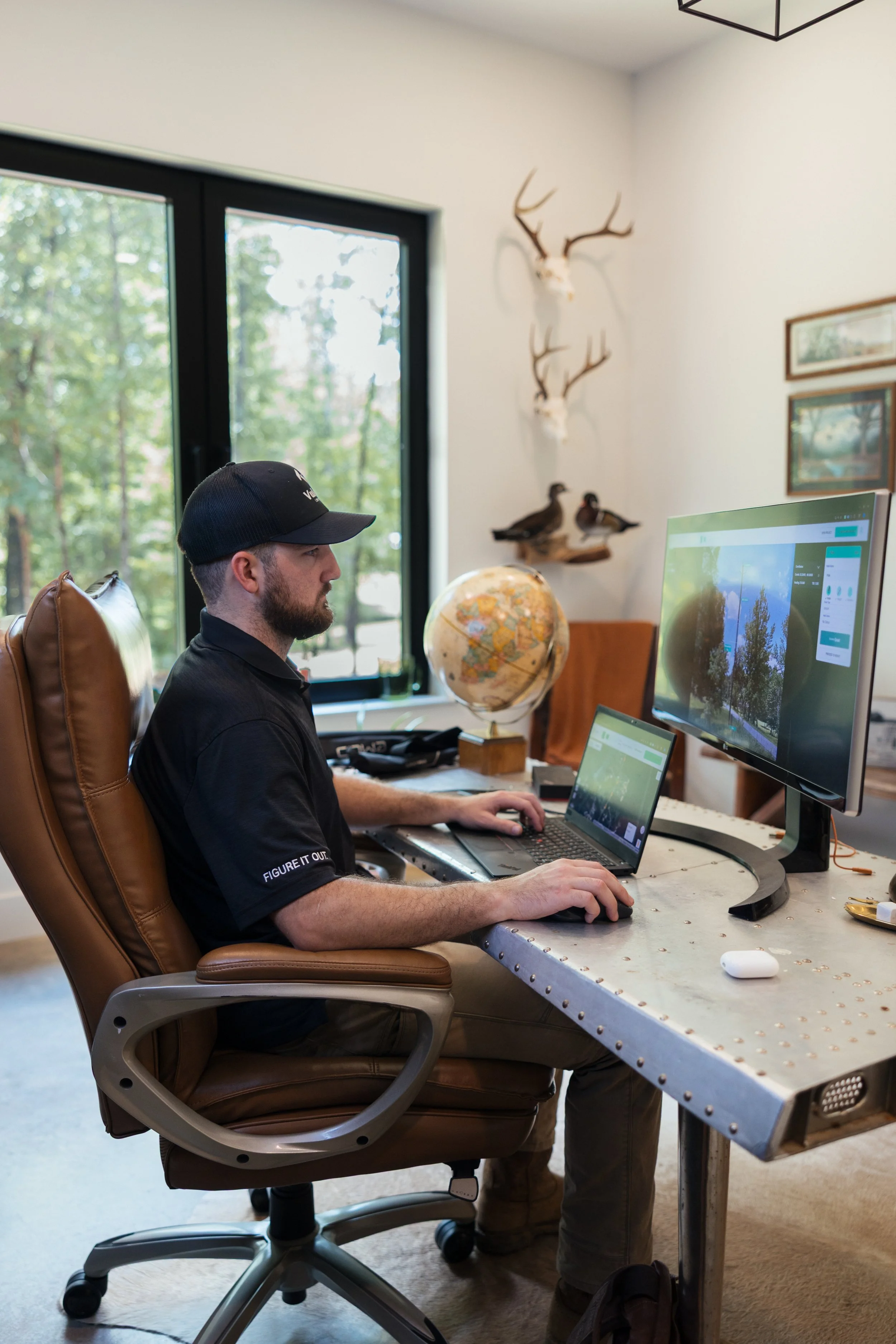
Uploads from Field
to Office
Data uploads in real time for quick dispatch and engineering insights.
Simple iPhone
Integration
Works with iPhone and Android. No bulky field equipment needed.
Simple Three-Step Process

Photograph the Pole
Simply take a picture of the power pole with your iPhone - this simultaneously captures a GPS reading

Capture Pole Location
Walk up to the power pole and grab a second GPS reading with the receiver right next to the pole
Instant Web App Access
Measurable photographs automatically upload to the Azmyth Web app for back office teams to take accurate measurements
Accurate GPS Positioning and Measurements of Physical Infrastructure
Whether you're locating power poles, hydrants, or signage, Azmyth on Foot uses your phone and Emlid RX to capture sub-inch horizontal data. With RTK correction enabled, accuracy reaches 0.5", with no second measurement needed.
No need for repeat site visits
Auto-tagged images and tilt readings
Compatible with NTRIP services
Offline saving with delayed uploads
Supports midspan workflows
Real-time data processing
How to Get Started with Azmyth on Foot
Access all features with a subscription
Get the Emlid RX and accessories you need
Use your phone + GPS in the field
Choose Your Plan
Surveying solutions tailored for every team size
Standard
$25/month
For the back office. Review, annotate, and manage the data your field crews collect; all from your desk.
Get StartedAzmyth on Foot
$100/month
For field crews. Capture height, span, and clearance data on site, right from your phone.
Get StartedHardware
Your field crew's GPS unit, from our partner E38 Survey Solutions

Emlid Reach RX2 Package
From $2,399
- Half-inch accuracy
- Works under tree canopy
- 16h battery
- Optional survey pole + phone mount
Need a Custom Solution?
Contact our team to discuss enterprise pricing and hardware configurations
Contact SalesFAQs
-
Cell service is required for RTK Corrections in order to bring the GPS accuracy to within 0.5". GPS points can be recorded without cell service but the accuracy of GPS recordings will be lower.
-
Many states have free services, others do not. There are paid services with nationwide coverage. Simply enter your NTRIP information into the Azmyth iOS app.
-
No, Azmyth on Foot is available on iOS and Android devices.
-
With RTK corrections, horizontal accuracy is 0.5". The vertical accuracy is a function of the GPS accuracy, but expect +-2" of accuracy.
-
Azmyth was built on Emlid units, but is compatible with any Bluetooth GPS receiver.
-
No. If cell service is low, you can save the images locally and then upload to Azmyth when service is better.
-
Yes. Place a brightly colored marker below the midspan and take a photo.
U.S. CORS Network Access
Tap any state to explore available RTK network access
Nationwide coverage via Point One Navigation
See Azmyth in Action
Additional Resources