Azmyth
Measure every pole from a photo
From a photo to a pole record.
Azmyth turns 360° drives and phone photos into measured pole records.
Drag to look around, scroll to zoom, and click the green markers to move down the road.
Key Features
-
Azmyth™ allows users to take precise virtual measurements of utility pole heights, attachment points, and midspan clearances. Once measured, objects are shown as nodes in satellite view, offering a clear picture of existing infrastructure from above.
-
Using 360° imagery, Azmyth™ provides a comprehensive view of power poles and their surroundings. This high-resolution utility pole data offers a complete picture, making analysis faster and more efficient.
-
Designed with simplicity in mind, Azmyth’s intuitive interface makes it easy for users to navigate and perform complex tasks. Whether you're a fielding expert or a newcomer, the platform ensures a seamless experience.
-
Azmyth™ integrates seamlessly into existing workflows. Export your data effortlessly into formats such as KML or Shapefile for further analysis or use with other tools.
Choose Your Plan
Surveying solutions tailored for every team size
Standard
$25/month
- Azmyth web app (desktop)
- Height, span & clearance tools
- 360° & iPhone image uploads
- Unlimited projects & exports
- Pole-by-pole RYG status
- Team collaboration
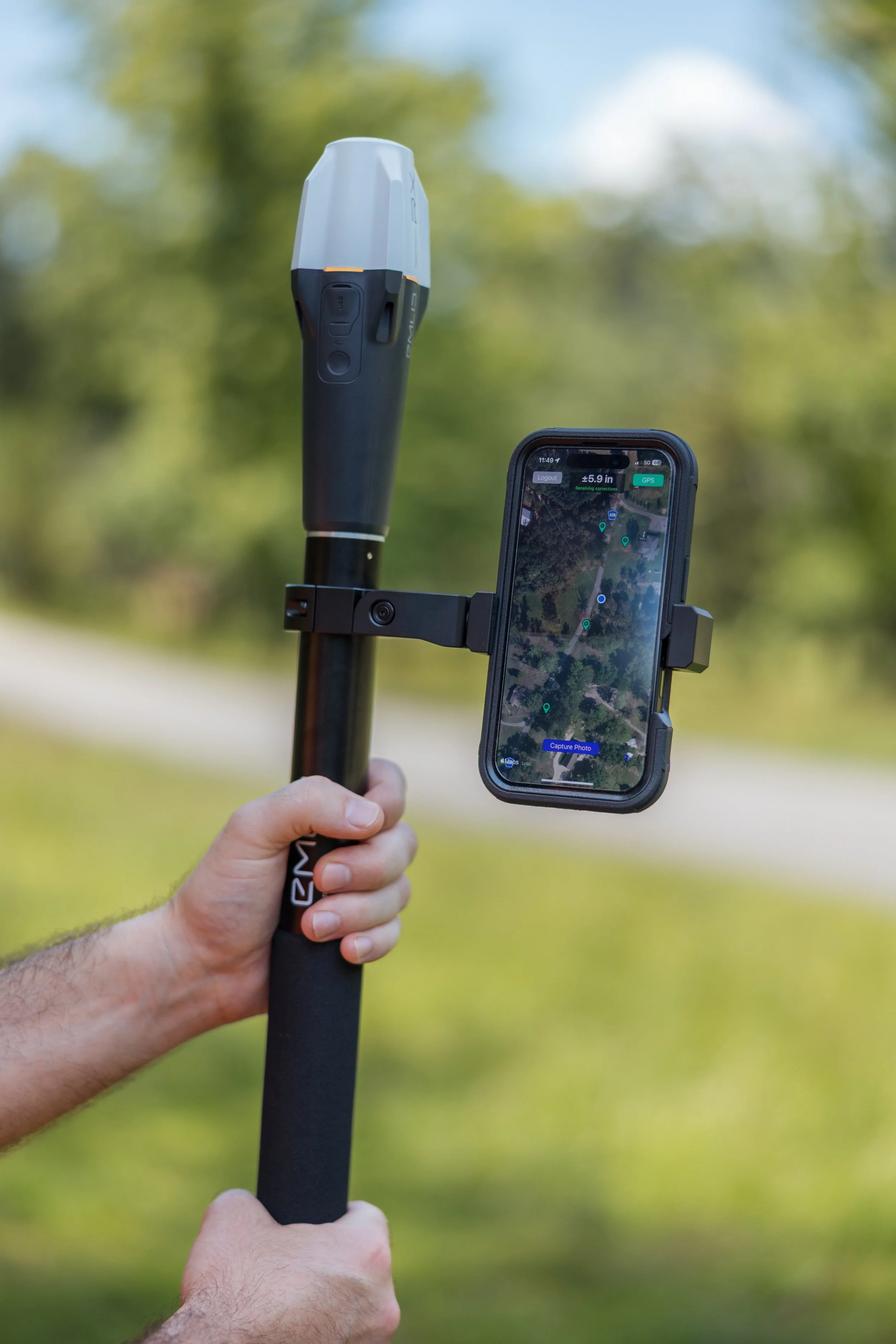
Azmyth on Foot
$100/month
- Azmyth mobile device app
- All Standard plan features
- Unlimited iPhone uploads
- RTK-corrected data integrated
Need a Custom Solution?
Contact our team to discuss enterprise pricing and hardware configurations
Contact Sales